

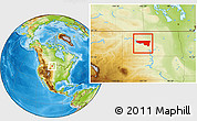
McLean County Simple Maps
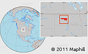
This page provides an overview of McLean County, North Dakota, United States simple region maps.
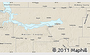
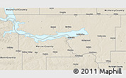
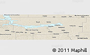
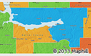
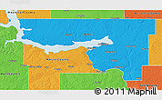
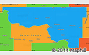
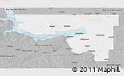
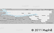
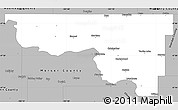
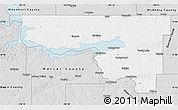
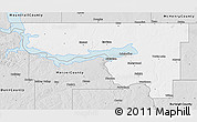
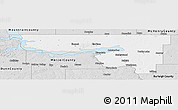
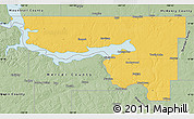
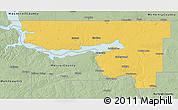
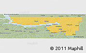
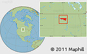
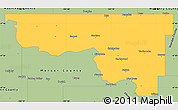
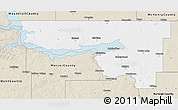
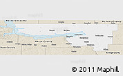
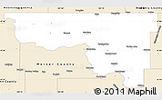
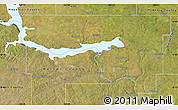
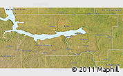
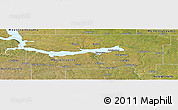
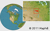
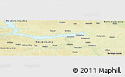
Colored outline maps of McLean County Choose from a wide range of map styles and color schemes.
Get free map for your website. Discover the beauty hidden in the maps. Maphill is more than just a map gallery.
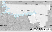
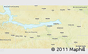
Graphic maps of McLean County
There are many color schemes to choose from. No style is the best. The best is that Maphill lets you look at McLean County, North Dakota, United States from several different perspectives. Please select the simple map style in the table below.


Search within McLean County
Enter the name and choose a location from the list. Find cities, towns, villages, airports, hotels and other locations in McLean County. Search results will show graphic and detailed maps matching the search criteria.
It's not Maphill. It's you.
Maphill is definitely the most comprehensive map gallery on the web. But the gallery isn't much of a gallery without visitors. If you like any of the maps, please don't keep it to yourself.
Share this page.
Use the share buttons for Facebook, Twitter or Google+. Give your friends a chance to see how the world transformed into images looks like. The region maps of McLean County, North Dakota, United States are just few of the many available.
Get McLean County maps for free.
You can easily download, print or embed McLean County, North Dakota, United States simple maps into your website, blog, or presentation. Static image maps look the same in all browsers.
Free images are available under Free map link located above the map on all map pages.
Be inspired.
It has been said that Maphill maps are worth a thousand words. That's certainly true. But it's still very little compared to what you can experience when you visit McLean County, North Dakota, United States.
Visit McLean County.
Each region of North Dakota has a lot to offer. McLean County is no exception. It is not possible to capture all the beauty in the maps.
Accommodation deals in McLean County.
If any of Maphill's maps inspire you to come to McLean County, we would like to offer you access to wide selection of hotels at low prices and with great customer service. Compare hotel prices, book online and save money.
Thanks to our partnership with Booking.com you can take advantage of up to 50% discounts for hotels and other accommodation in McLean County, North Dakota, United States. Best price is guaranteed.
McLean County hotels
See the full list of destinations in McLean County, browse destinations in North Dakota, United States, North America or choose from the below listed cities.
Hotels in popular destinations in McLean County
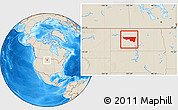
Facts
Popular searches
A list of the most popular locations in United States as searched by our visitors.
Recent searches
List of the locations in United States that our users recently searched for.
The Maphill difference
No map type or map style is the best. The best is that Maphill enables you to look at McLean County from many different angles and perspectives.
Technology
We automated the entire process of turning geographic data into map graphics. Thanks to that, we are able to create maps in higher quality, faster and cheaper than was possible before.
Different perspectives
The map of McLean County in presented in a wide variety of map types and styles. Maphill lets you look at the same area from many different perspectives.
Fast anywhere
Maps are served from a large number of servers spread all over the world. Globally distributed delivery network ensures low latency and fast loading times, no matter where on Earth you are.
Easy to use
All maps of McLean County are available as static images. You can print, download or embed maps very easily. No JavaScript, no API, no platform dependencies.
Vector quality
We create each simple map individually with regard to the characteristics of the map area and the relevant graphic style. Maps are assembled and kept in a high resolution vector format throughout the entire process of their creation.
Real Earth data
We only use data collected by the satellites or based on bathymetric surveys. All maps are constructed from real data. This is how the world looks like.
Experience of discovering
Maphill simple maps will never be as detailed as Google maps or as precise as designed by professional cartographers. Our goal is different. We want to redefine the experience of discovering the world through the maps.
Always free
Maphill was created with the goal of making the web a more beautiful place. Without you having to pay for that. All our map images are, and will always be, available for free.
Spread the beauty
Embed simple map of McLean County into your website. Enrich your blog with quality map graphics. Help us to make the web a more beautiful place.
